Discover the outdoors on Niagara's South Coast by pedal or foot by exploring the numerous cycling and hiking trails. Our interactive map allows you to search for trails by location. Port Colborne offers easy access to fantastic paved multi-based trails surrounded by beautiful scenery. Great for walking, cycling and skating. Two trails that are part of the Greater Niagara Circle Route intersect in Port Colborne. The Great Trail and the Great Lakes Waterfront Trail travel through Port Colborne.
Trail etiquette
- Obey all trail signs
- Stay on the trail, leave only footprints and as few of these as possible
- The universal rule of trail courtesy is for all trail users to pass to the left
- Take nothing but photographs
- Carry out everything that you carry in, including wrappers, tissues, soda cans, water bottles, cigarette butts, etc.
The Niagara Cycling Tourism Centre has information on bike routes & trips, planning your adventure, and resources for cyclists (bike repair stations, parking, public washrooms and visitor information).
The Greater Niagara Circle Route |
|
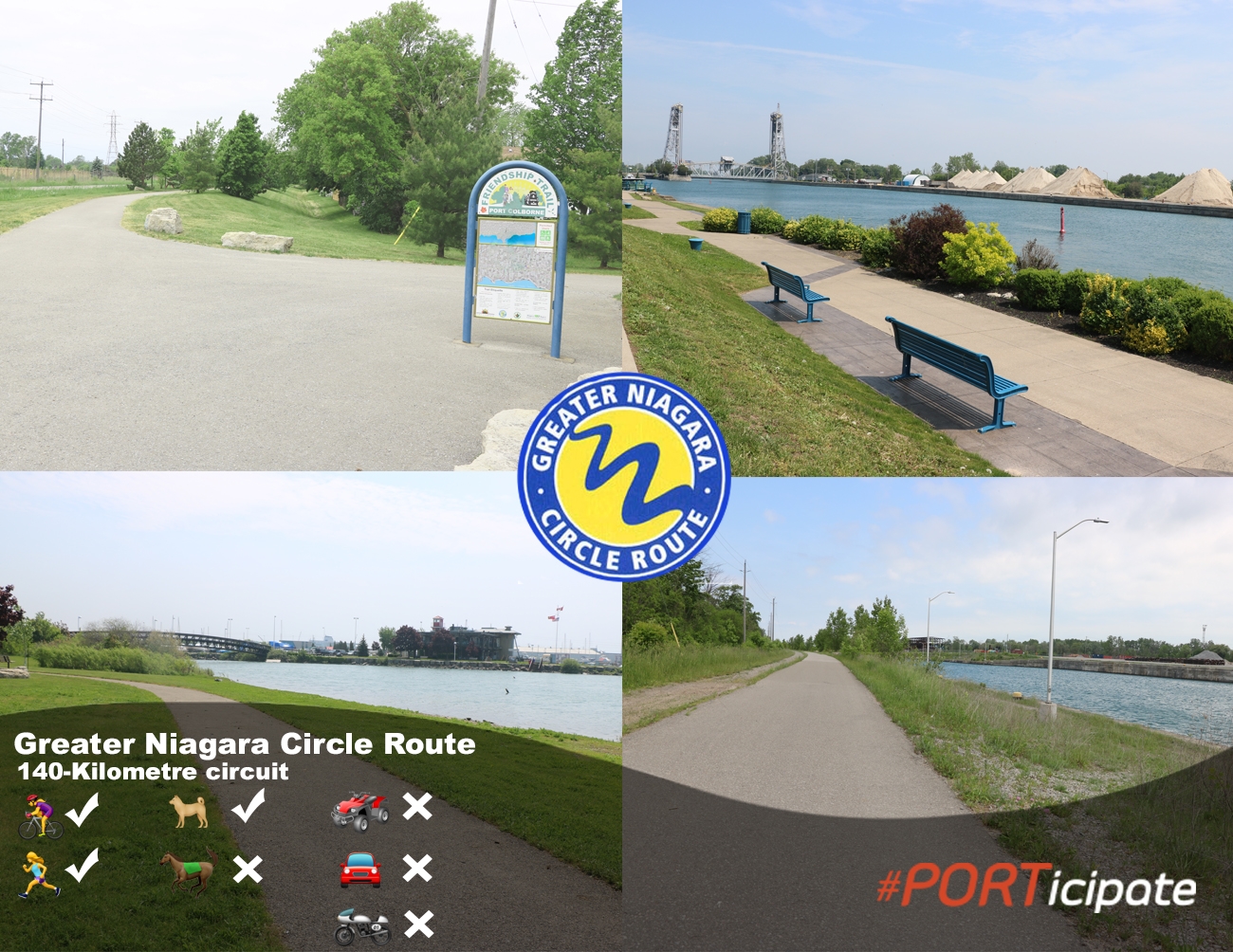
The Greater Niagara Circle Route is a paved, multi-use trail that connects Port Colborne, Fort Erie, Niagara Falls, Niagara-on-the-Lake, St. Catharines, Thorold and Welland in a 140 km circuit. This route passes through urban centres downtowns, the Niagara Escarpment, waterfronts quiet rural and picturesque agricultural areas. The Greater Niagara Circle Route is part of The Great Trail and Great Lakes Waterfront Trail. The Port Colborne sections includes the Welland Canals Parkway Trail, Friendship Trail, both of which meet at Seaway Park. A spur of the trail runs along the Port Promenade, parallel to Historic West Street, and terminates at scenic H.H. Knoll Lakeview Park. Near by sights and attractions include Mud Lake Conservation Area. Niagara River Recreation Trail and the Waterfront Trail are also part of The Greater Niagara Circle Route.
|
Great Lakes Waterfront Trail |
|
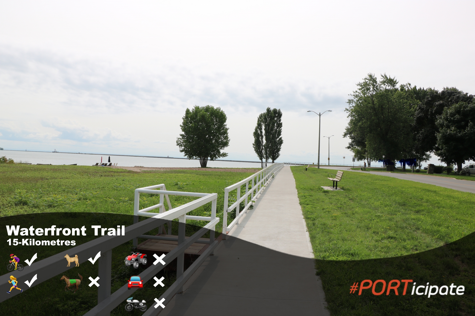
Stretching over 1600km along the Canadian shores of Lake Ontario, Lake Erie, Lake St. Clair and the Niagara, Detroit and St. Lawrence Rivers, the Waterfront Trail connects 86 communities and more than 405 parks and natural areas including wetlands, forests and beaches. Created to protect, celebrate and reconnect people to our Great Lake waterfronts, the Waterfront Trail has become a well-loved and used recreation, fitness and green transportation amenity and a world-renowned tourism attraction. The trail offers beautiful views and recreational opportunities along Lake Erie. This fully marked route with easy to follow signage consists of mainly on-road routes and connects with many area cycling trails including the Greater Niagara Circle Route and The Seaway Trail in the United States.
|
The Great Trail |
|
This section of The Great Trail enters Port Colborne by the Gord Harry Trail from Wainfleet, travels throughout the city and continues along the Friendship Trail to Fort Erie. The Great Trail is s the longest recreational trail in the world, trail offers a wide range of activities through a variety of landscapes – urban, rural and wilderness, along greenways, waterways and roadways. The Great Trail travels to all 13 Provinces and Territories in Canada, it covers 27,000 kilometres of trail. |
East Side Trail |
|
This section of the Welland Canals Parkway Trail, which is part of a network of trails, is unique in Niagara Region. It accommodates many outdoor enthusiasts on parallel but divided trails, including equestrians, off-road motorcycles, ATV's and mountain bike. Currently the only part of the East Side Trail which allows motorized machines (bike and ATV) is the Port Colborne section. Vehicles must be green or blue plated and carry liability insurance to legally ride there. |
The Friendship Trail |
|
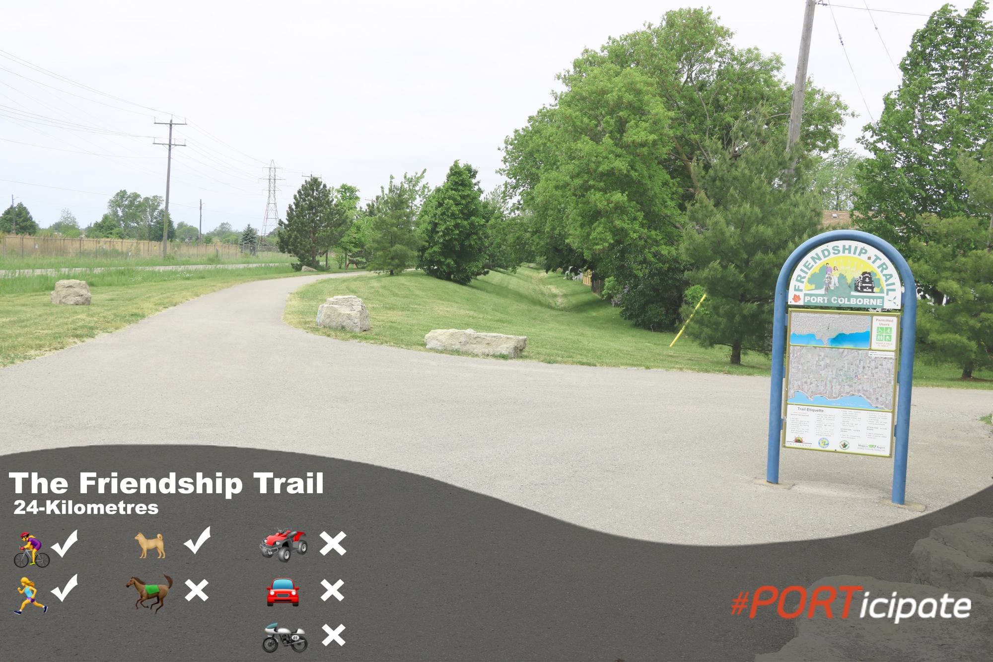
This 24 kilometre scenic pathway is paved and safe for cycling and ideal for walking, jogging and rollerblading. During the winter months, the trail can be used for snowshoeing, cross-country skiing and hiking! The trail begins at Port Colborne Seaway Park and ends at Historic Fort Erie where it meets up with the Niagara Parks Commission Recreation Trail. All along its length this trail coincides with the Great Trail.
|
Gord Harry Conservation Trail |
|
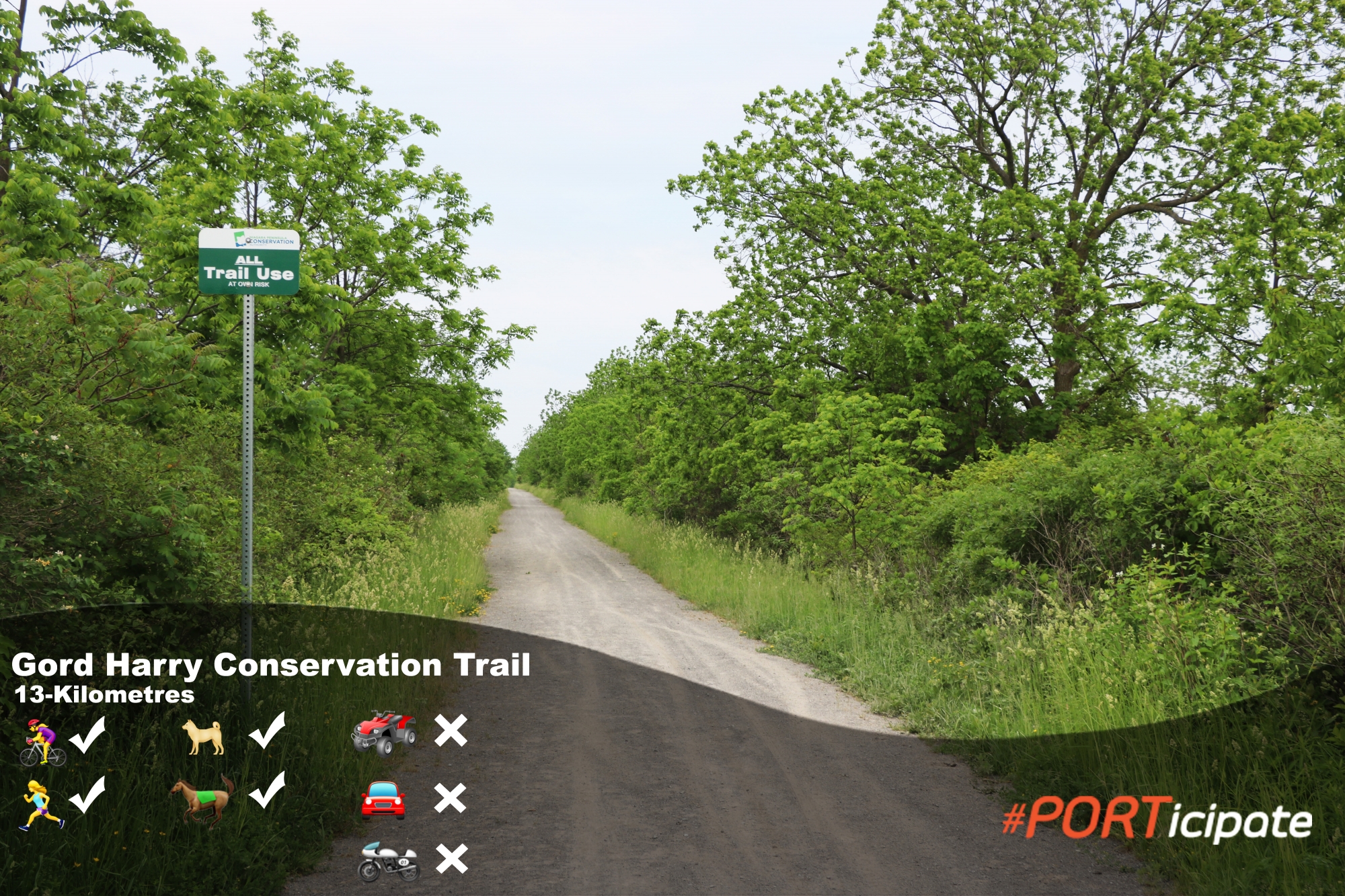
This section of The Great Trail runs 13 kilometres from the western boundary of Port Colborne, across the south of Wainfleet to Halidmand County, parallel to the Lake Erie shore. This unpaved trail connects several conservation areas in Wainfleet, and is an excellent location for bird watching and spotting wildlife. Ideal for biking and hiking, the Gord Harry Conservation Trail appeals to nature lovers of all ages.
|
The Welland Canals Parkway Trail |
|
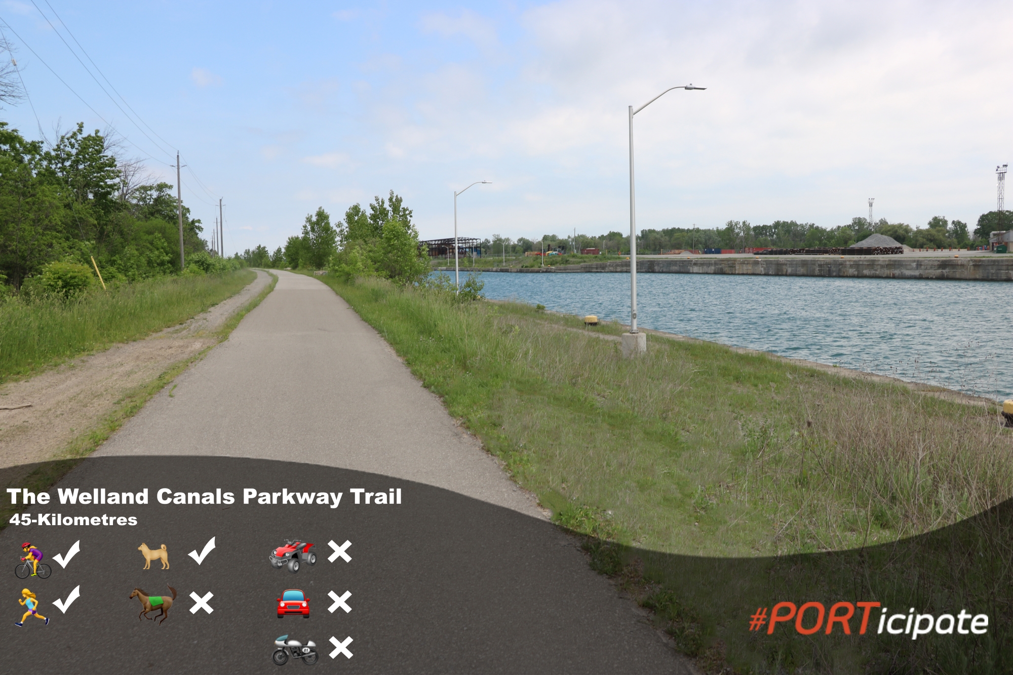
This trail follows the canal along its west bank from St. Catharines through Thorold, Welland, and Port Colborne. In Thorold, the path crossed to the “Thorold Island” created between the old third canal and the current fourth canal. In Welland, it follows the old third canal through the city and is paved on both sides of the canal. The trail zig-zags across the canal in Port Colborne until it meets the Friendship Trail at Seaway Park.
|
Bicycle Repair Stations |
|
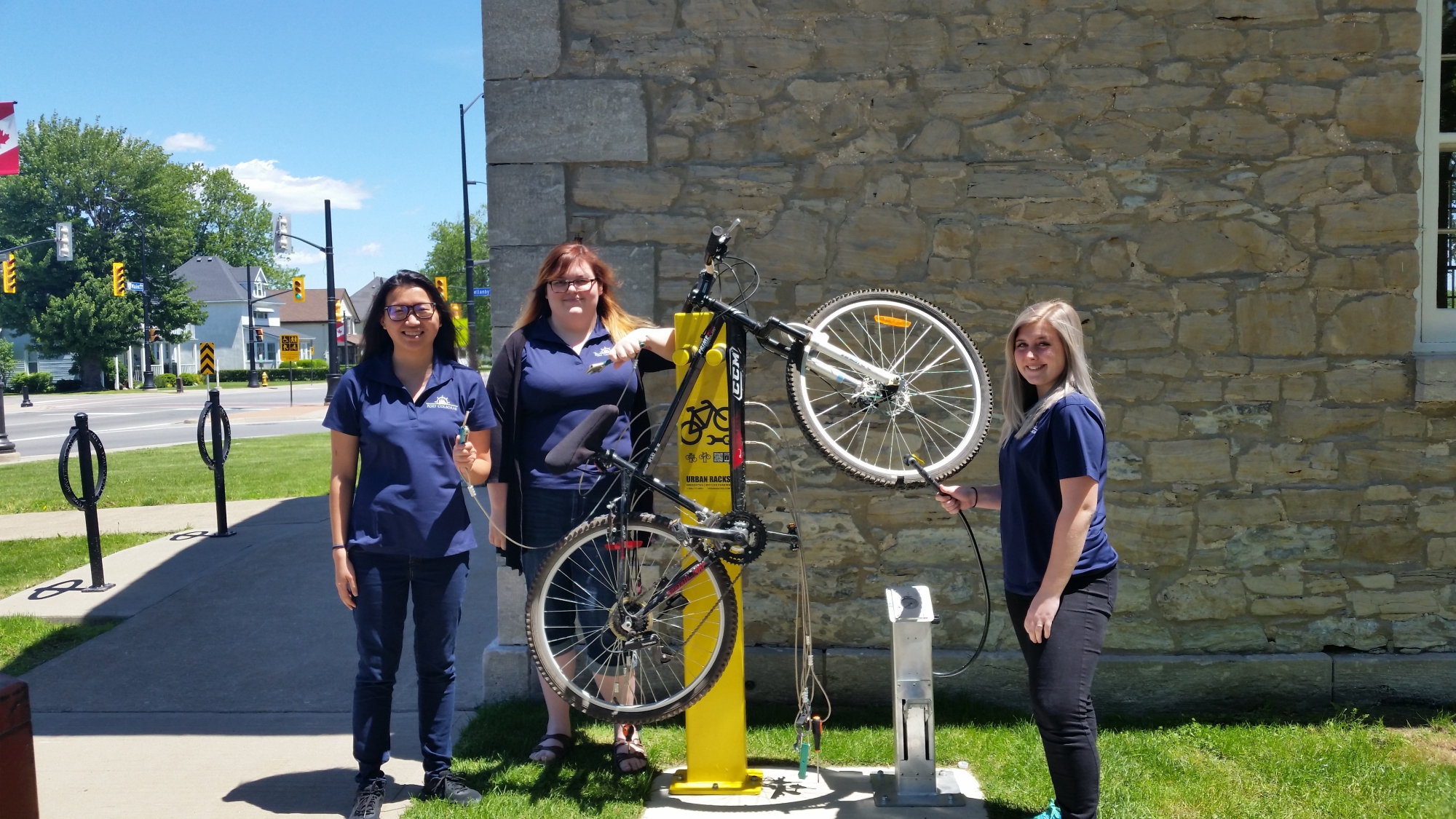
Bicycle Repair Station are located at the following locations:
|


